1️⃣ Carbon emission estimation based on multi-source remote sensing data
Obtaining accurate carbon emission data is crucial for the realization of China’s dual carbon strategy. Currently, the mainstream method for carbon emission accounting is based on the IPCC guidelines. This method relies on statistical and survey data to systematically calculate carbon emissions across various sectors and departments by applying carbon emission factors for different activities. However, due to limitations in statistical data, this method struggles to measure carbon emissions at the county level and below, failing to meet the needs for precise decision-making in emissions reduction and development of spatial planning.
In this project, we propose a method for carbon emission estimation based on multi-source remote sensing data. Variables including nighttime light, precipitation, population density, NDVI, surface temperature, and elevation are input into a BP neural network to establish a regression relationship with carbon emissions. Based on this model, county-level carbon emissions in Shaanxi Province from 2012 to 2019 are estimated. Additionally, various spatiotemporal analysis methods, such as spatial autocorrelation and standard deviation ellipses, are employed to analyze the spatiotemporal evolution trends of carbon emissions.
Articles, competitions, and other outputs completed based on this project include:
- Liu, Z., Han, L., Liu, M., 2023. Spatiotemporal characteristics of carbon emissions in shaanxi, china, during 2012–2019: a machine learning method with multiple variables. Environ. Sci. Pollut. Res. 30, 87535–87548. https://doi.org/10.1007/s11356-023-28692-6
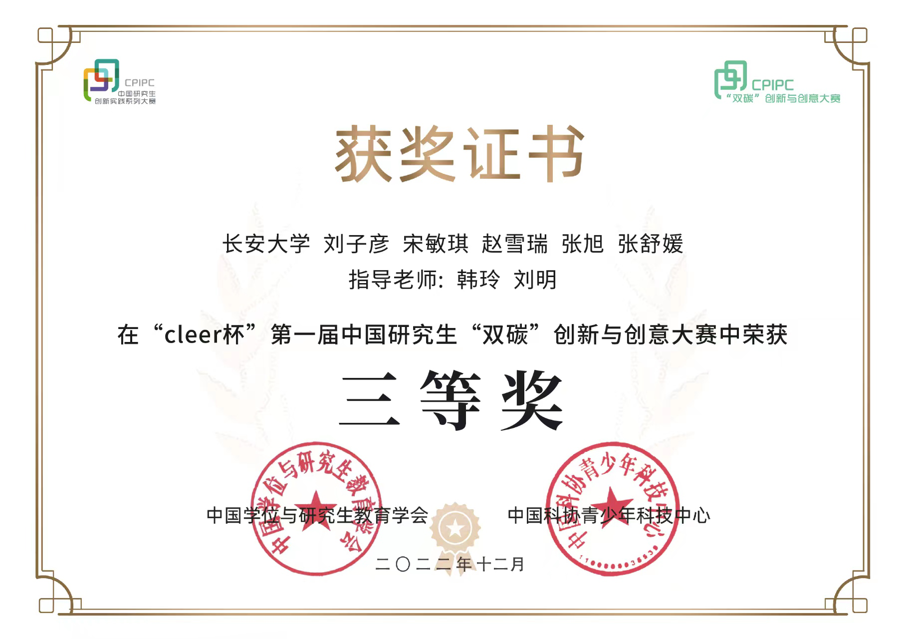
- The Third Prize: China Graduate Students “Carbon Peaking & Carbon Neutrality” Innovation and Creativity Competition (CLEER) (Rank:1/5)

